3D maps in Beirut tell story of Nakba
“A National Monument” exhibition in Beirut presents the changing map of Palestine after the Nakba.


BEIRUT — Thirty-two plywood boxes are meticulously positioned on the floor of Beirut’s Dar El-Nimer for Arts and Culture, forming a map of Palestine. On top of each box is a detailed carving of the largest 22 cities in the region. Between the wooden carvings of Safed, Galilee and Gaza City are black and white dots, symbolizing the Palestinian villages that were depopulated during the 1948 Nakba, or “Catastrophe,” which marks the establishment of Israel. Together they form a semi-3D topographical map of 1940s Palestine, radically different from Palestine today, in an effort to contextualize the impact of the Nakba.
The 3D map is the center piece of the exhibition “A National Monument,” which is the last event of a yearlong project by Visualizing Palestine, an organization that creates infographics and artworks on the Israel-Palestine conflict. It is presented in the two-story building — in Le Corbusier’s domino style — that houses Dar El-Nimer, a Beirut-based Palestinian arts and culture nongovernmental organization.
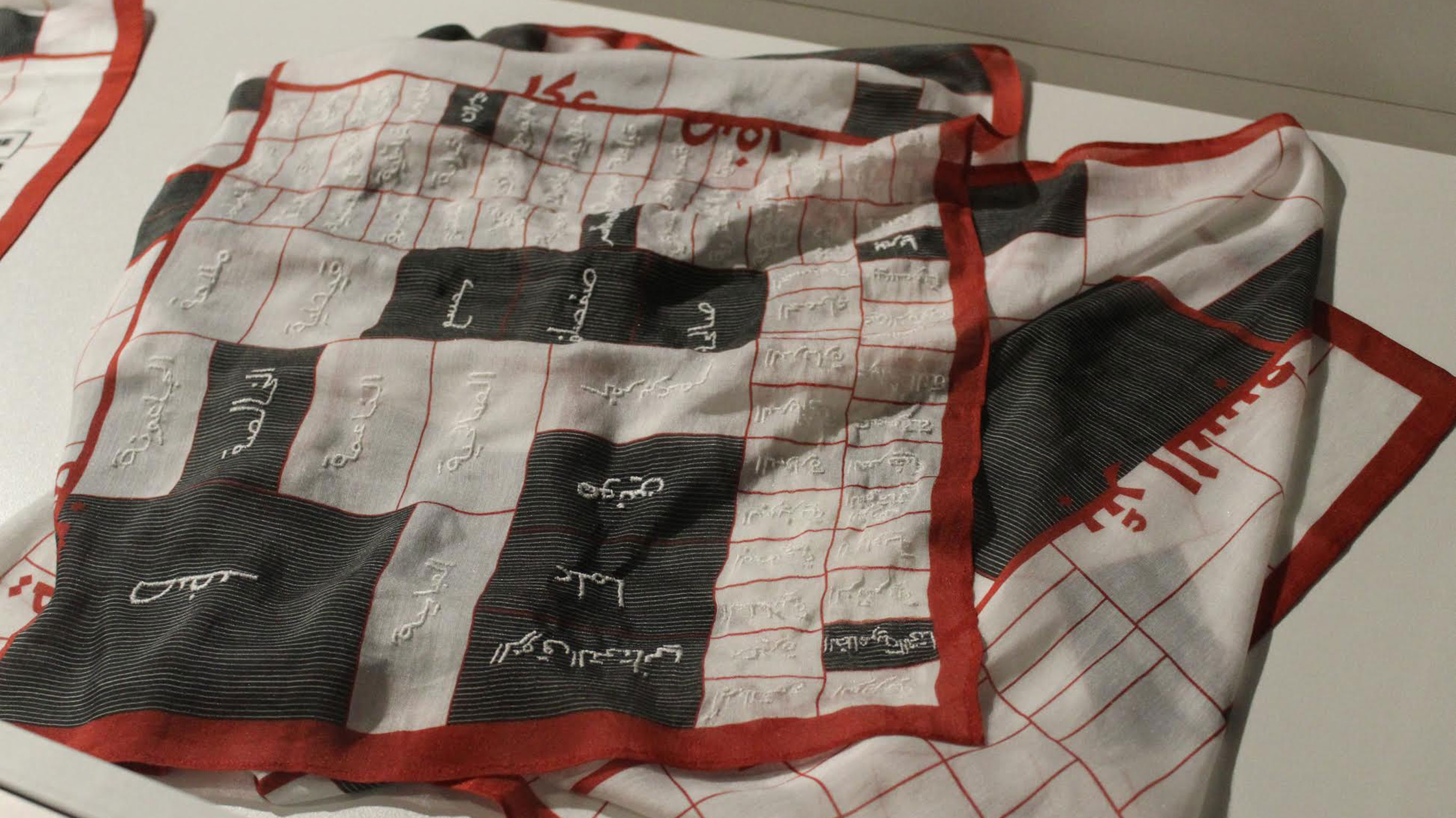
The event showcases three exhibits: a collection of 3D wooden topographical maps of 1948 Palestinian cities, an online platform tracking the villages depopulated after the Nakba and scarves with a rectangle pattern that symbolizes the Palestinian villages destroyed or replaced by Jewish towns in 1948.